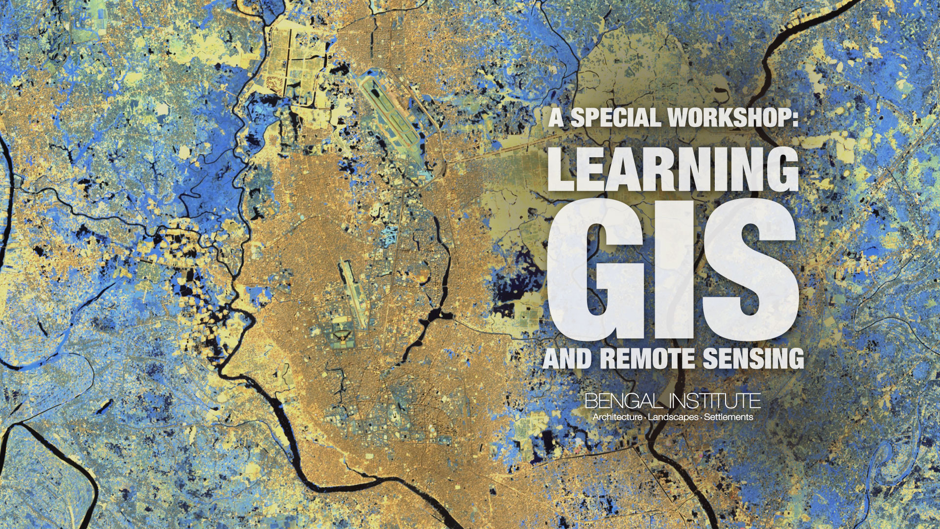
A Special Workshop: Learning GIS and Remote Sensing
A two-week long training workshop from 18th — 29th November, 2018, on fundamentals of GIS (Geographic Information System) and RS (Remote Sensing), designed for the professionals who have been practicing in the field of Architecture, Planning and other relevant disciplines. The program is open for anyone with a minimum bachelor’s degree to apply.
Participants will create, design, organise and manage geospatial databases, will produce well-designed maps and undertake spatial data analysis using some specific geospatial software, tools and techniques. This training is geared towards those seeking to gain an overview of understanding of GIS, RS, current trends and some basic hands-on experiences. These hands-on experiments will lead to enhance their knowledge and skills on handling geospatial basics and tools. They will learn how to relate and analyze space in a scientific way.
The training will have different modules, each one has been designed with a set of discussions, quizzes, assignments and weekly evaluation of the participants. The first week involves introductions and a basic geospatial tool handling processes, surrounding what GIS is and what its implications are. Georeferencing and data representation, GIS data and database management, Raster data and Vector data analysis & conversion etc. will be covered on the whole elementary session. In the geospatial analysis module, participants will perform demographic analysis, land use land cover analysis and 3D analysis.
Each week participants will be provided course materials such as sample GIS data, handouts, relevant statistical data, tutorials, book and journal references etc.
Two-week-long training on “GIS for Cities, Architecture and Planning” 18th – 29th November, 2018 (10 days of activities)
Day 1
17:30—17:45 (15 minutes)
Lecture 01: Introductory Lecture
17:45—18:00 (15 minutes)
Quiz 01
18:00—18:30 (30 minutes)
Lecture 02: Application and Implication of GIS
18:30—19:30 (60 minutes)
Exercise 01: Software introduction, ArcMap, ArcCatalog, ArcScene, ArcGlobe, Google Earth, Google Map, Global Mapper, ERDAS Imagine
Day 2
17:30—17:45 (15 minutes)
Quiz 02
17:45—18:15 (30 minutes)
Exercise 02: Working with Arc Map
18:15—18:30 (15 minutes)
Lecture 03: Data, GIS and Non-GIS data, CAD data, Vector data, Raster data, Data acquisition, Data source introduction
18:30—19:30 (60 minutes)
Exercise 03: Data acquisition, Google Earth, Different online sources, Raster data acquisition
Day 3
17:30—17:45 (15 minutes)
Quiz 03
17:45—18:00 (15 minutes)
Lecture 04: Coordinate system, Map projection, Transformation, Projection creation, Georeferencing
18:00—19:30 (90 minutes)
Exercise 04: Georeferencing from a .jpeg image
Day 4
17:30—17:45 (15 minutes)
Quiz 04
17:45—18:00 (15 minutes)
Lecture 05: Attributes, Table creation and addition, Table from excel data
18:00—19:30 (90 minutes)
Exercise 05: Data and attributes from Google Earth and attributes of any area
Day 5
10:00—10:15 (15 minutes)
Quiz 05
10:15—10:30 (30 minutes)
Lecture 06: Basic Geoprocessing such as Buffer, Clip, Intersect, union, Merge, Dissolve
10:30—12:00 (90 minutes)
Exercise 06: Basic Geoprocessing
12:00—13:15 (75 minutes)
Evaluation Test 01
14:30—15:30 (60 minutes)
Discussion 01
15:30—17:00 (90 minutes)
Project 01
Day 6
17:30—17:45 (15 minutes)
Quiz 06
17:45—18:00 (15 minutes)
Lecture 07: GIS-CAD conversion
18:00—19:00 (60 minutes)
Exercise 07: CAD to GIS and GIS to CAD
19:00—19:30 (30 minutes)
Exercise 08: Georeferencing from a CAD file
Day 7
17:30—17:45 (15 minutes)
Quiz 07
17:45—18:00 (15 minutes)
Lecture 08: All about maps and Map elements, Map visualization
18:00—19:30 (90 minutes)
Exercise 09: Map creation, Map visualization with other relevant software
Day 8
17:30—17:45 (15 minutes)
Quiz 08
17:45—18:00 (15 minutes)
Lecture 09: Demographic analysis
18:00—18:45 (45 minutes)
Exercise 10: Population analysis, Analysis from a statistical census data of a definite area
18:45—19:00 (15 minutes)
Lecture 10: Raster data, DEM, Landsat, Sentinel data
19:00—19:30 (30 minutes)
Exercise 11: Rasta data work
Day 9
17:30—17:45 (15 minutes)
Quiz 09
17:45—18:00 (15 minutes)
Lecture 11: Land use land cover analysis
18:00—18:45 (45 minutes)
Exercise 12: LULC analysis of a given area
18:45—19:00 (15 minutes)
Lecture 12: 3D transformation
19:00—19:30 (30 minutes)
Exercise 13: 3D work
DAY 10
17:30—18:30 (60 minutes)
Evaluation Test 02
18:30—19:30 (60 minutes)
Presentation (3 mins each)
