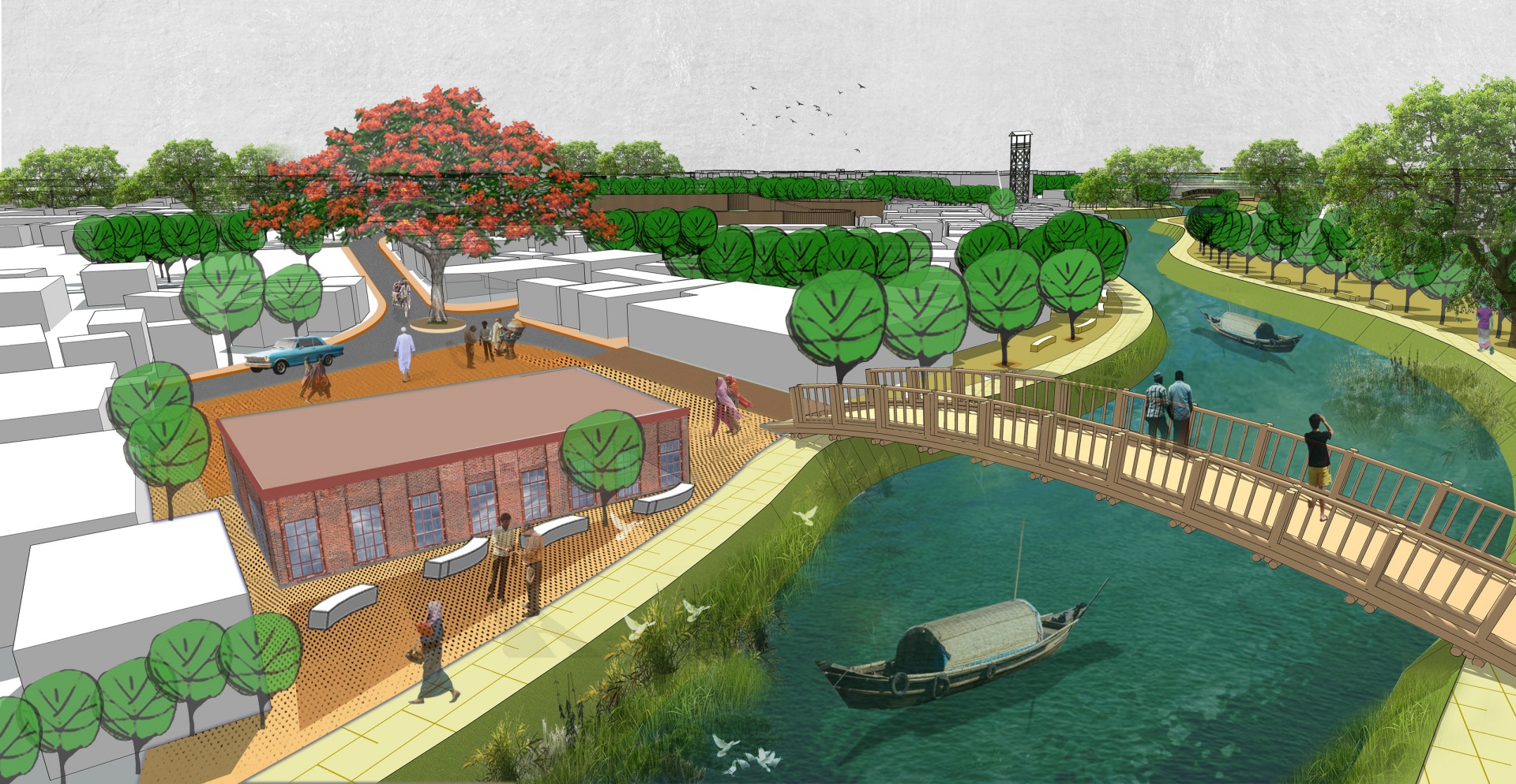
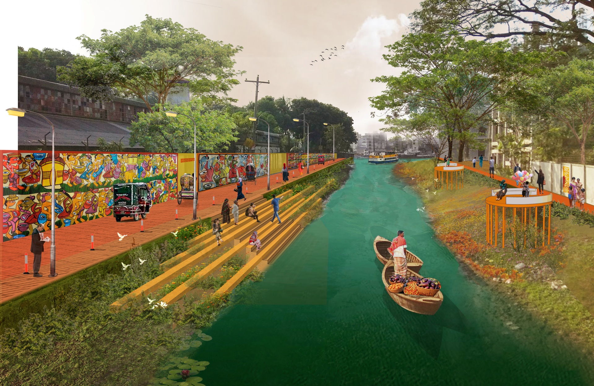
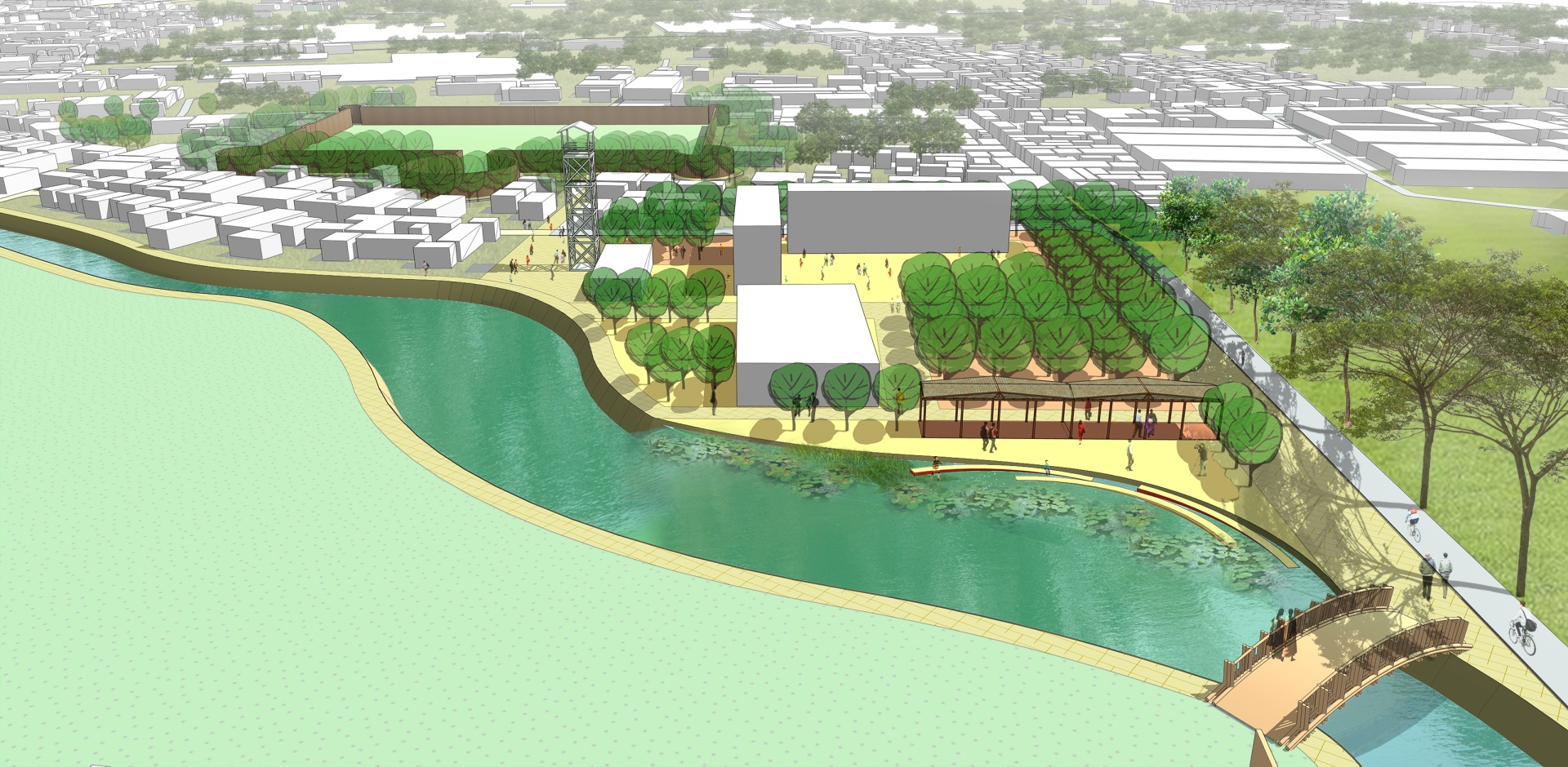
Tribeni canal is one such important canal that connects the city with diverse landscapes in the region which is gradually losing its existence. The canal is overall 6 kilometres long and 1.55 kilometres within the NCC boundary. The location of the canal is in Kadam Rasul Pouroshova (the southern side of Narayanganj). It has two major rivers connected, River Shitalakshaya and old Brahmaputra. Adjacent part of Shitalkshaya river and the canal is locally known as Tribeni ghat. Bengal Institute is associated with Narayanganj City Corporation (NCC) to revive the canal with hydrological analysis and find a solution to reactivate the canal while including new civic activities along the banks. There are key issues which incorporate the design of the canal. These are the canal along with road and ghat, canal along with households, canal along with public walkways, canal along with shops and bridge, and canal along with the institution
DESIGN COMPONENTS
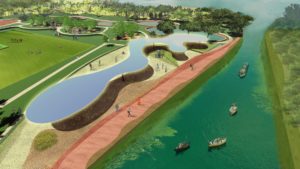
Tribeni Canal
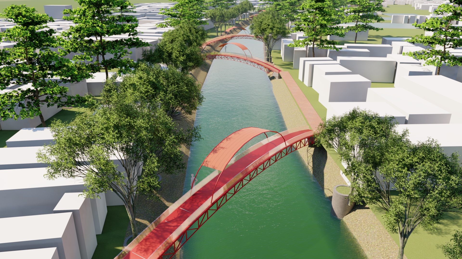
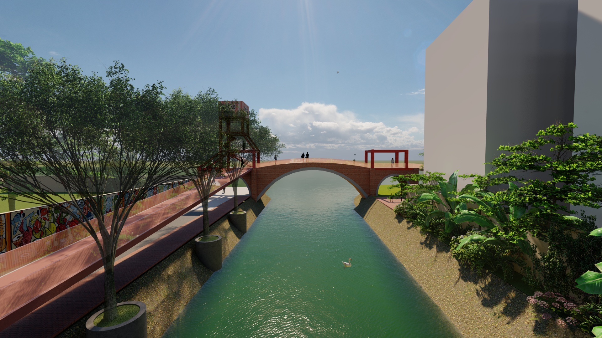
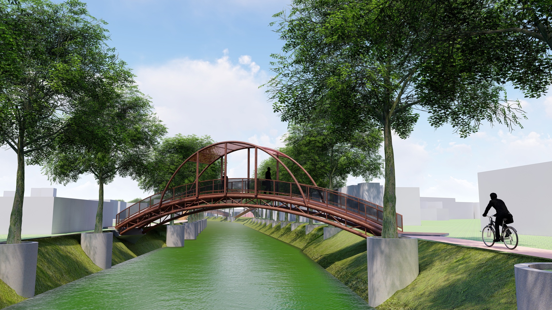
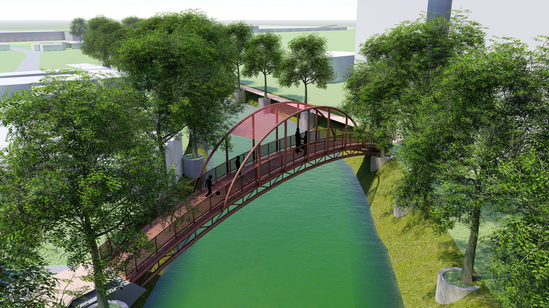
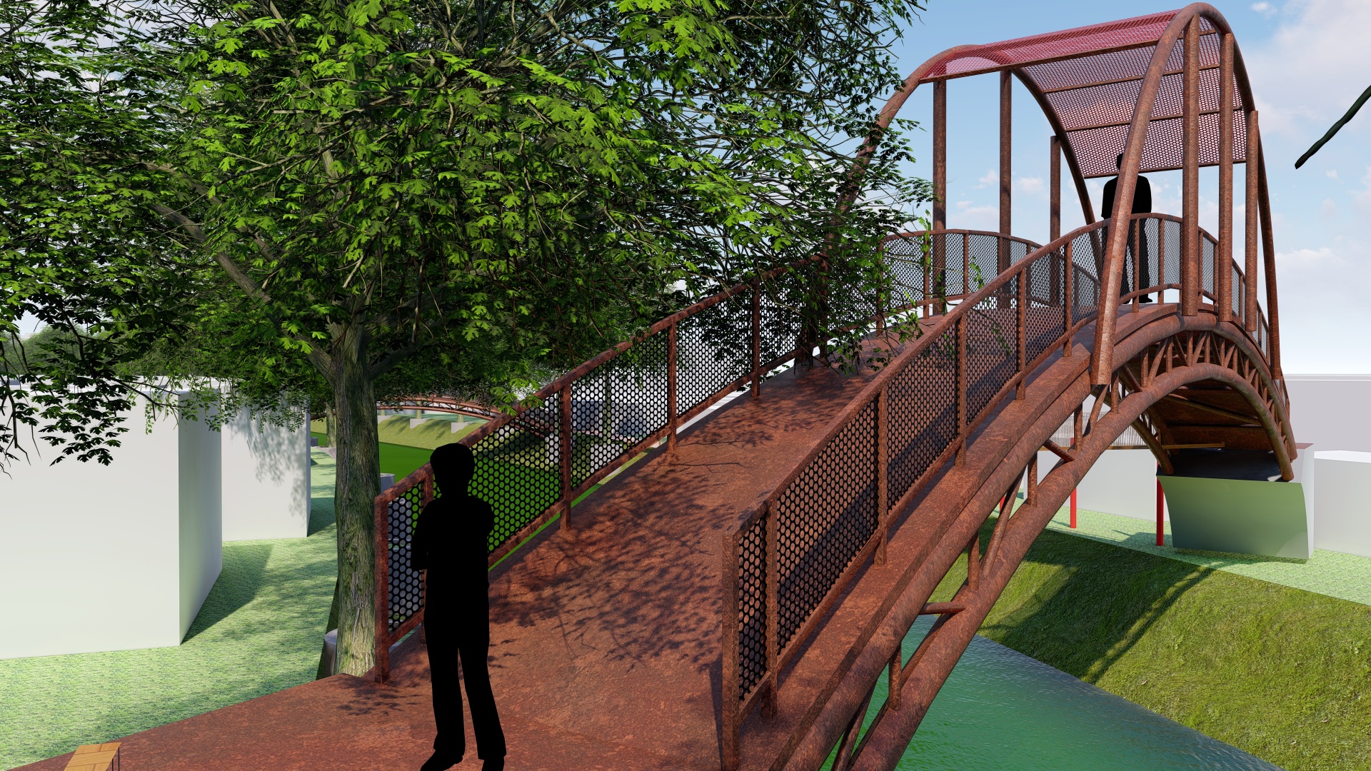
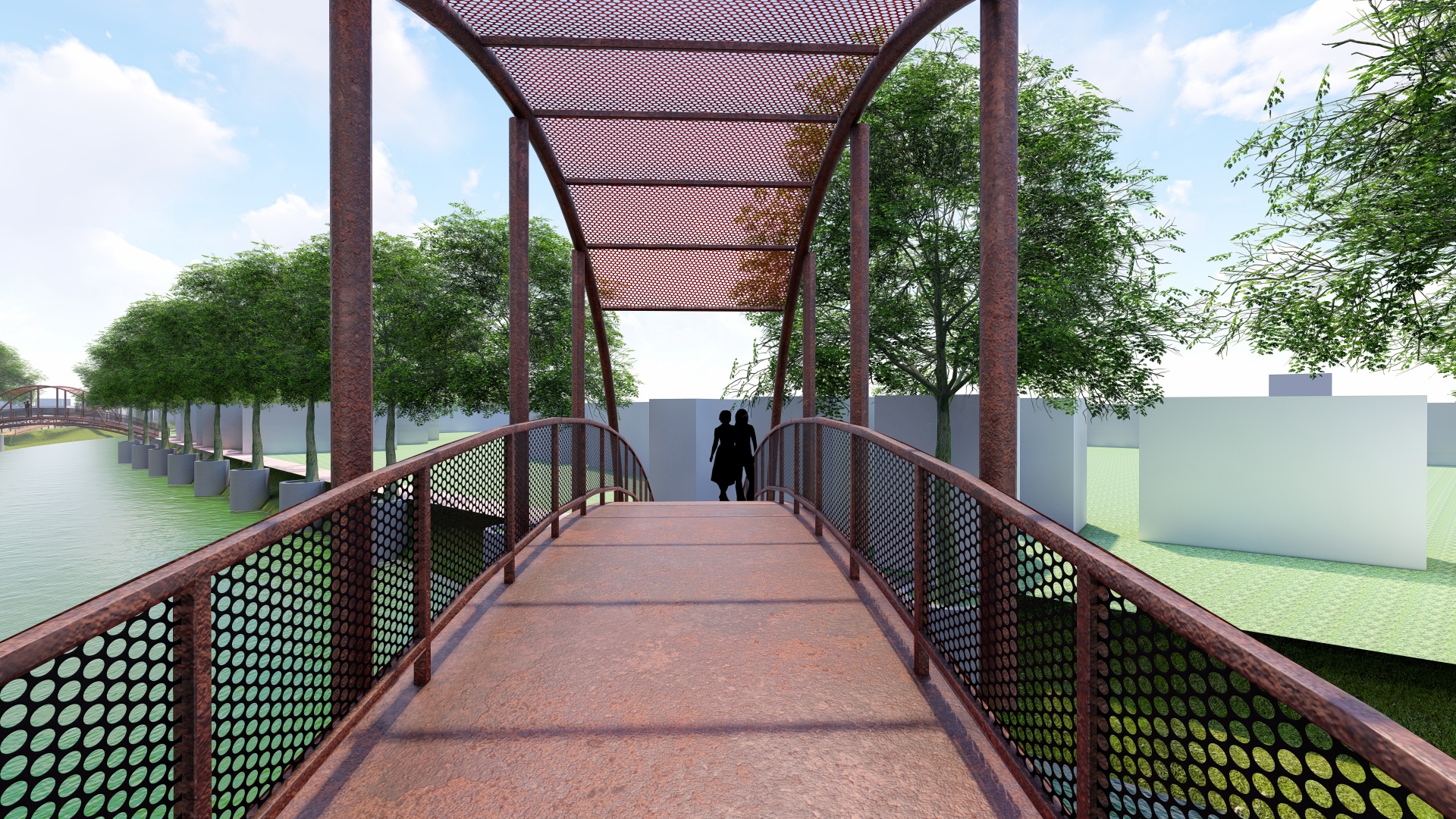
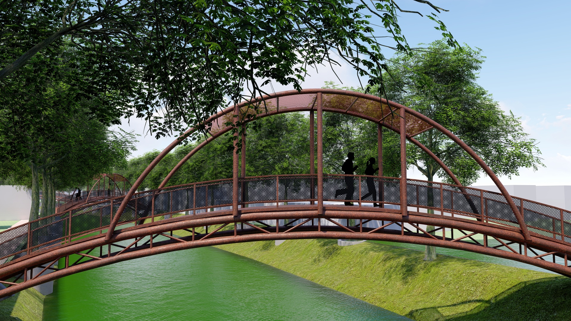
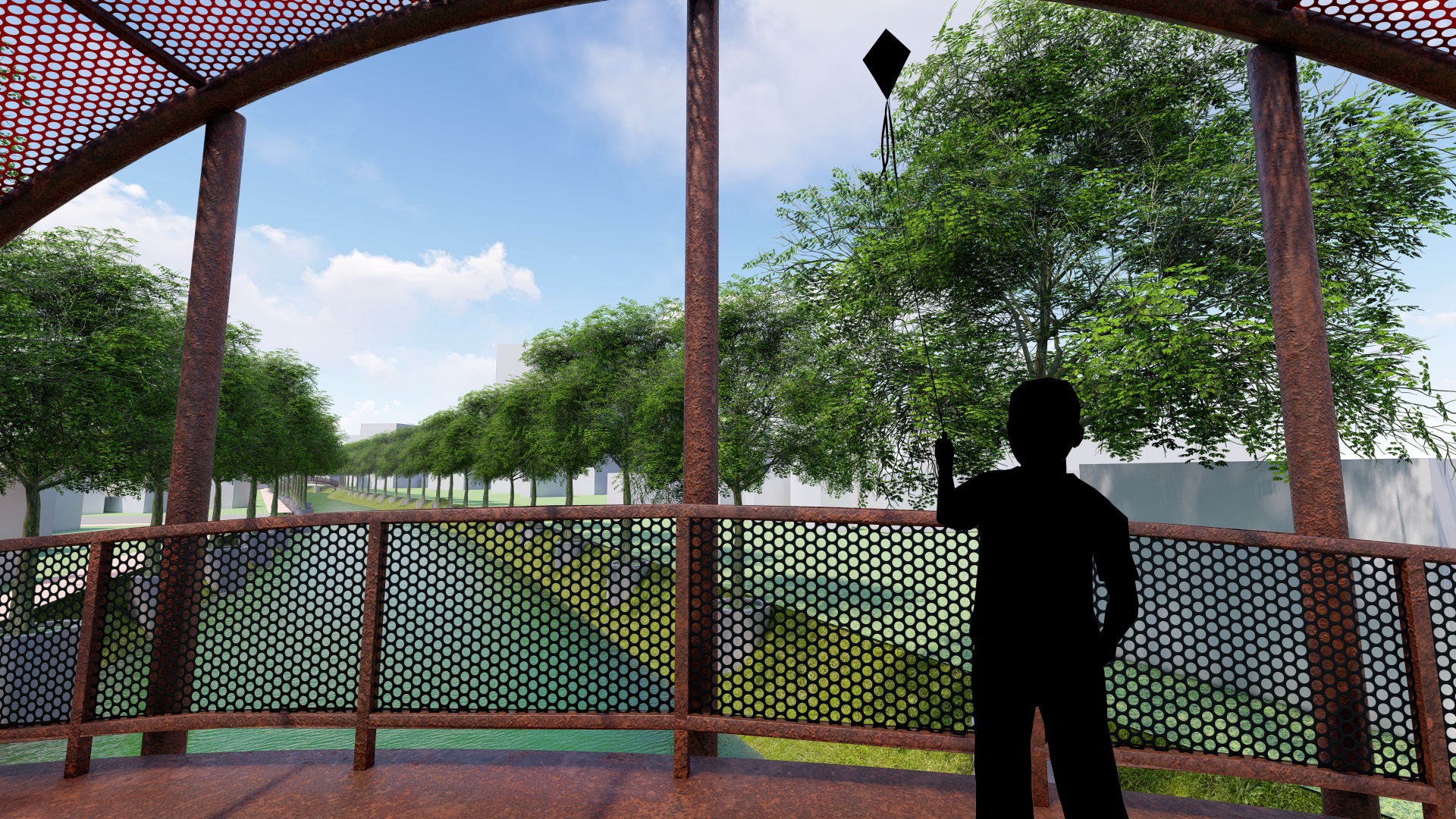
The design will incorporate a constant level of water, especially for the dry season. Water condition will be developed in natural ways keeping in mind a connection with Shitalakshaya and old Brahmaputra river. Topographical survey and land ownership survey will lead the design phase. Bridges will not be bridges only, it will have more functions and urban integrity with adjacent roads and pedestrian/walkways. Few components are the basic priority from NCC, such as Line of demarcation or boundary, vegetation, and walkway. Assuming, all the outlets to the canal from the surrounding neighbourhoods will be sealed by NCC and an alternate solution will be provided for that.
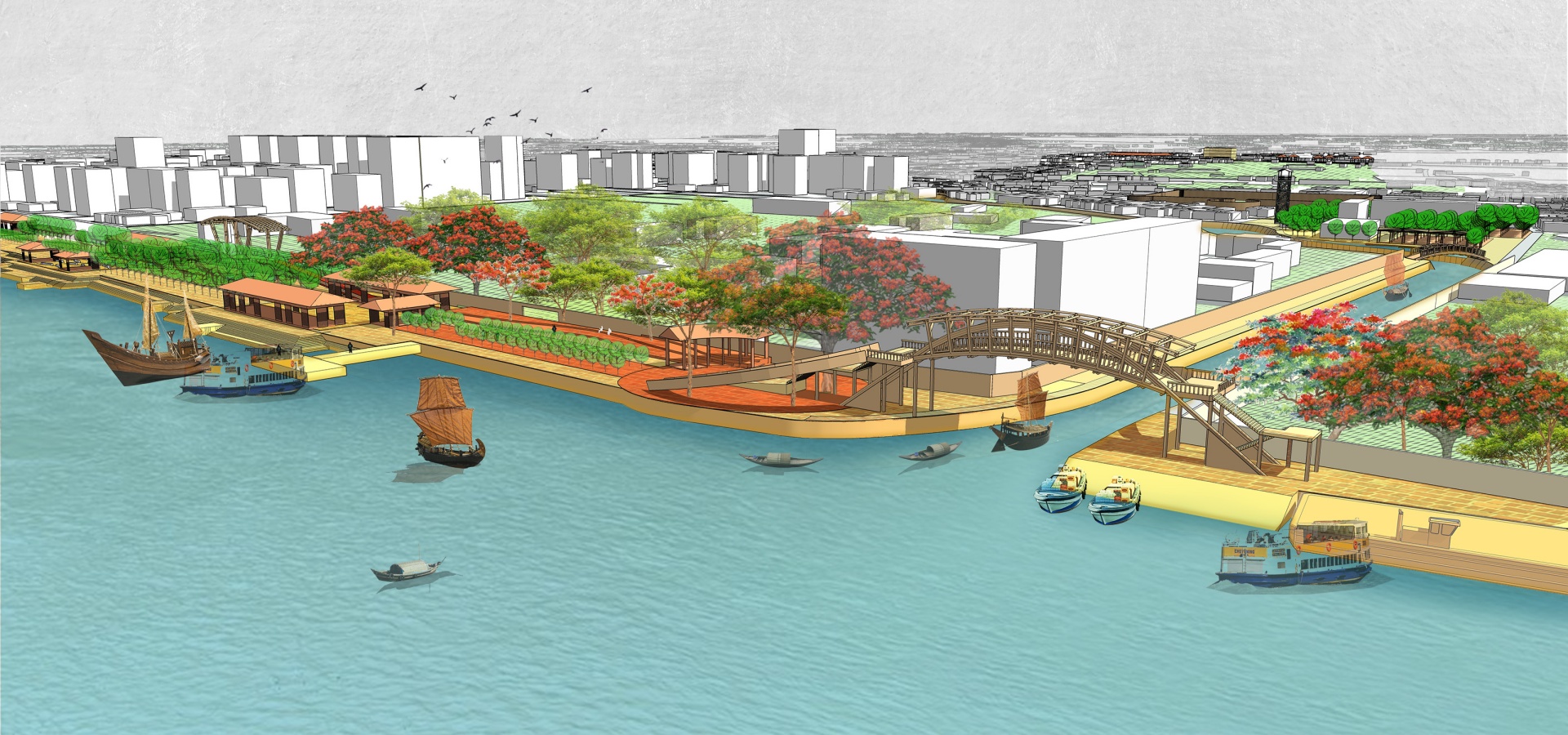
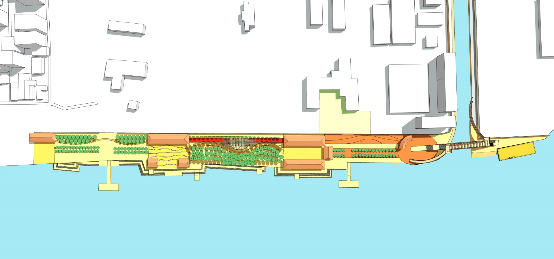
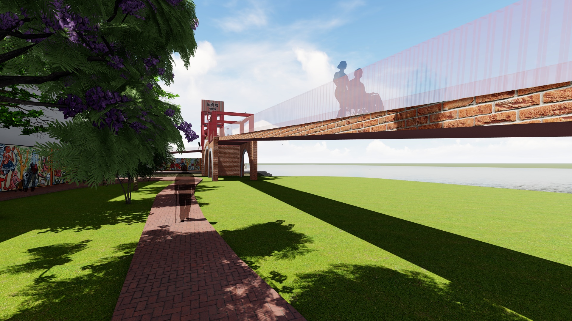
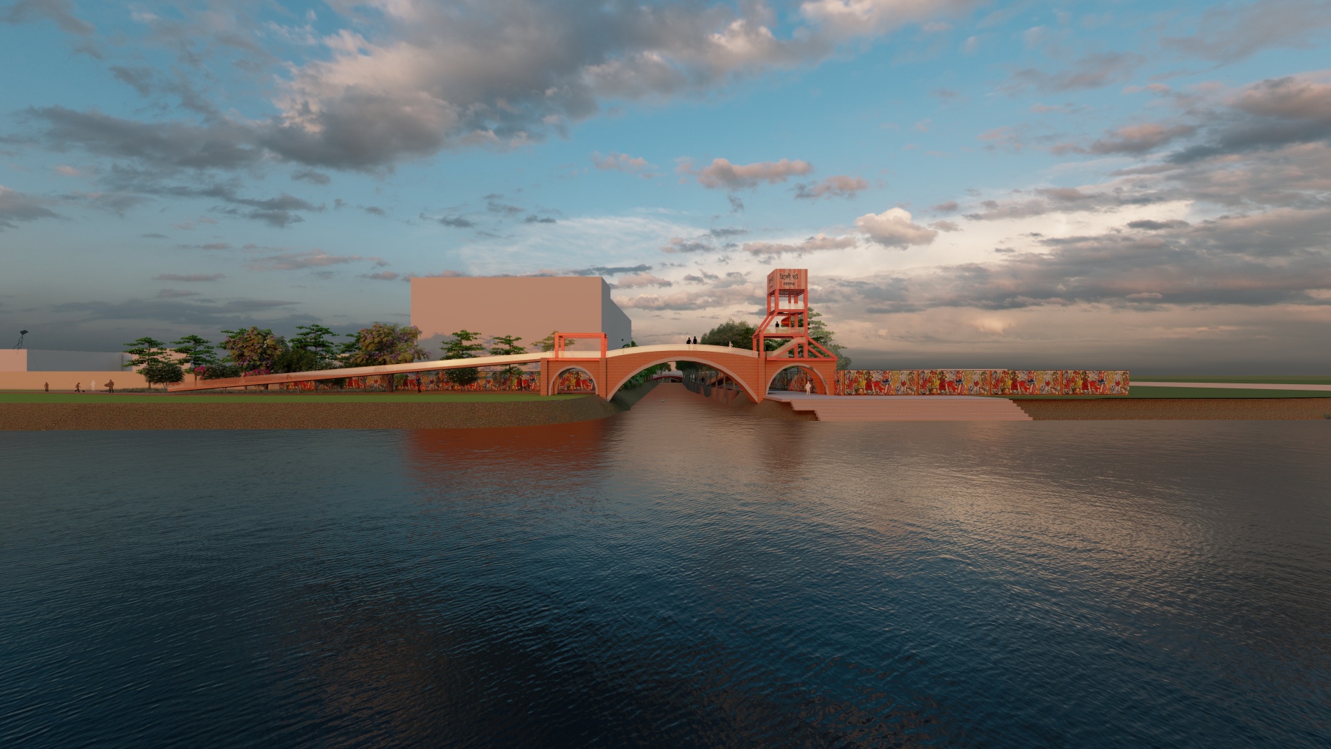
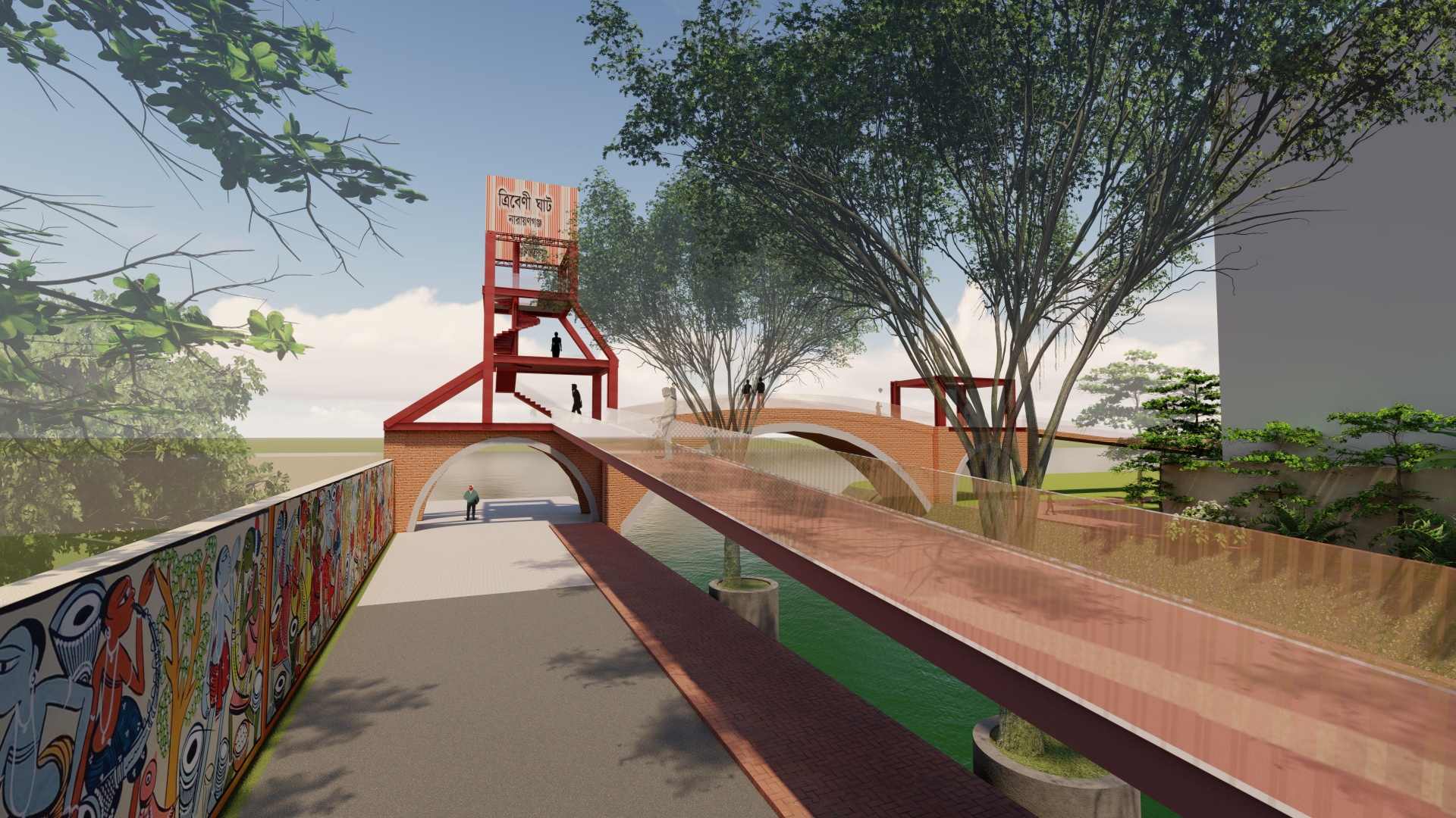
Tribeni ghat
Tribeni ghat will be redesigned by incorporating the details of goods transport and connectivity with the other side of the city. Spatial quality will be represented as a recreational space around the ghat.
Shonakanda fort
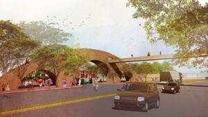
NCC had a plan with the archaeology department to organize the fort area with benches, vegetation, and footpaths; according to Bengal Institute’s proposal, this plan will be included with proposed touristic path development. There is an important place as well which has a full-fledged function as weekly-hat. All these development demands a detailed plan for Shonakanda area to engage suitable urban activities.
Police Thana
Adjacent area along the canal can be opened by the authorities to upgrade the quality of the canal edge. Local District Commissioner and police authority have to be engaged for this development.
100 Feet Road and Adjacent Area
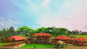
A proposed school will be constructed on the adjacent area of 100ft and the canal. The canal will be restored on that side as presently it has been treated as a backyard for the road side functions
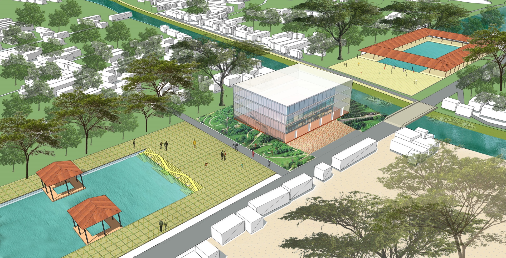
Public Hub
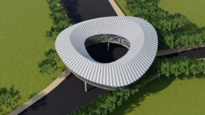
Series of ponds will have public urban spaces around the bridge on NCC boundary edge.
Shitalakshaya River Bank
A brief allocated area around 150 gaj/900sqft has been decided to integrate into the design.