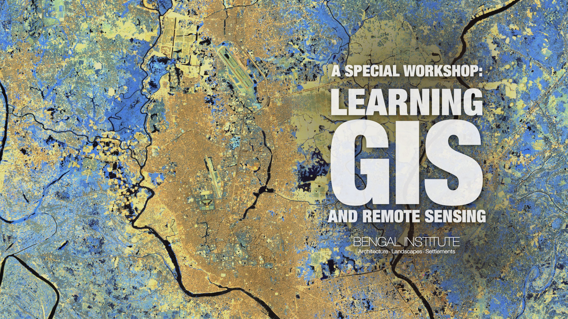
A Special Workshop: Learning GIS and Remote Sensing - November 2018
Sun 18 Nov - Thu 29 Nov' 18
A two-week long training workshop from 18th — 29th November, 2018, on the fundamentals of GIS (Geographic Information System) and RS (Remote Sensing)
This session is designed for the professionals who have been practicing in the fields of architecture, planning and other relevant disciplines. Application is open for anyone with a minimum bachelor’s degree.
Participants will create, design, organise and manage geospatial databases, produce well-designed maps and undertake spatial data analysis using some specific geospatial software, tools and techniques. This training is geared towards those seeking to gain an overview of understanding of GIS, RS, current trends and some basic hands-on experiences. These hands-on experiments will enhance their knowledge and skills on handling geospatial basics and tools. They will learn how to relate and analyse space in a scientific way.
The training will have different modules, where each one is designed with a set of discussions, quizzes, assignments and weekly evaluation of the participants. The first week involves introductions and basic geospatial tool handling processes, regarding what GIS is and what its implications are. Georeferencing and data representation, GIS data and database management, Raster data and Vector data analysis & conversion etc. will be covered on the whole elementary session. In the geospatial analysis module, participants will perform demographic analysis, land use land cover analysis and 3D analysis.
Each week participants will be provided course materials such as sample GIS data, handouts, relevant statistical data, tutorials, book and journal references etc.
Updates from the workshop:
Presentation of works by the participants:
Short Link to this page for easy sharing: bit.ly/BINov2018
Faculty

Upcoming Program
Past Program

Publication